Transportation
Services

Copyright © 2015 - All Rights Reserved - MMI Infotech
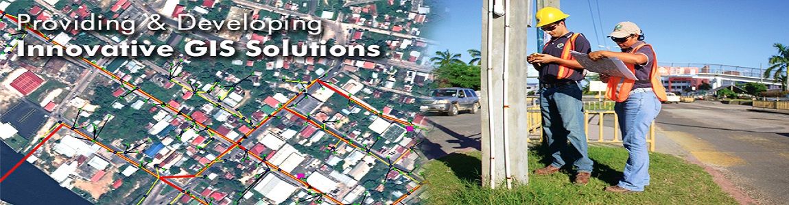
If your organization is looking to correct problems or improve your current transportation GIS, MMI INFOTECH is the place to start. And because our transportation GIS is easily integrated with our incident management, command and control, and security software, your organization can have full solutions that span everything from roadway maintenance to detailed safety-related measures that help protect and ensure the safety of your citizens.
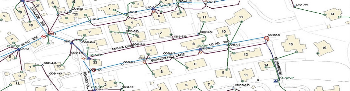
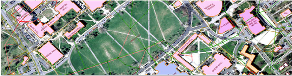
Geographic Information Systems for transportation (GIS-T) are introduced and their applications in both public and private sectors are reviewed and analyzed in detail. Defining GIS-T as an environment or framework for managing and analyzing spatial data related to transportation, the chapter begins with how GIS-T has been evolved by planners, engineers, and administrators in response to the need for collection of accurate data, data management, and dissemination of data as keys to successful management of transportation problems.
Our Expertise Includes:
• Mobile Workforce Management
• Route Optimization
• Vehicle Tracking