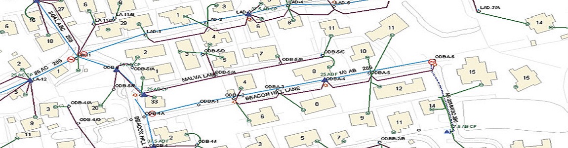
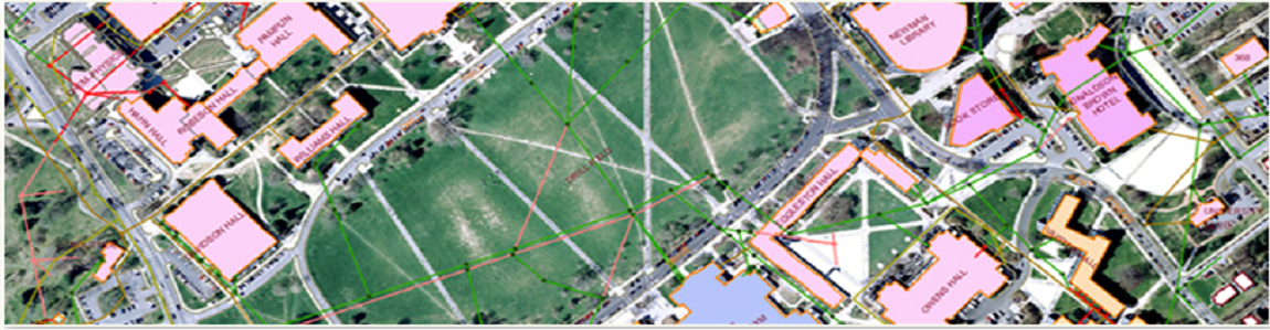
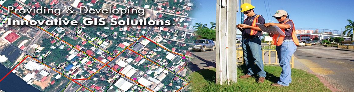
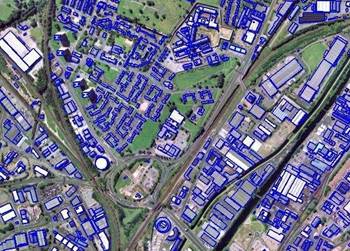
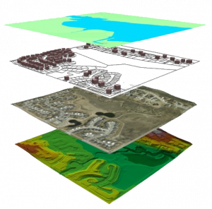
Photogrammetry
MMI INFOTECH has been providing a range and variety of photogrammetry mapping services that include:
• Digital Aero Triangulation
• 3D Vector Mapping
• Digital Terrain Modeling
• Digital Ortho Photography
• Mine and Quarry Mapping
• Topographic Mapping
• Geological Mapping
• LiDAR
MMI INFOTECH has been providing a range and variety of photogrammetry mapping services that include:
• Digital Aero Triangulation
• 3D Vector Mapping
• Digital Terrain Modeling
• Digital Ortho Photography
• Mine and Quarry Mapping
• Topographic Mapping
• Geological Mapping
• LiDAR
Our team of highly skilled professionals has all the experience necessary to complete photogrammetry project as per standards (specific or general).
Services

Copyright © 2015 - All Rights Reserved - MMI Infotech