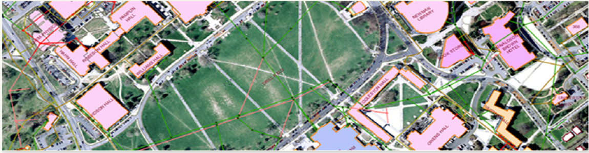
Geospatial Services
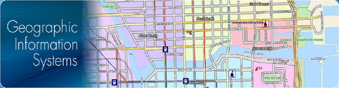
MMI Infotech has provided GIS support on five different software platforms. We understand the intricacies involved in surveying, plan metric mapping, and GIS development. More importantly, we have continually moulded our entire operation around the idea of producing a spatially accurate GIS base map. We meet the specifications for every aspect of GIS design, including software and hardware requirements, to ensure the delivery of a suitable GIS base map and a GIS - Friendly product.
We Provide:
• DEM generation
• Topographic Contouring
• Natural resource Management
• Cadastral Mapping and spatial adjustment
• Detail Project Report Preparation (IWMP)
• Data conversion
• Disaster Management & Risk assessment
• Consultancy and DPR Preparation
• Ground Water Mapping
• Urban Infrastructure Mapping
• Land use/ Land cover Classification
• Urban and Regional Planning
• Flood Plain Zoning/ HFL Demarcation
TELECOM PLANNING
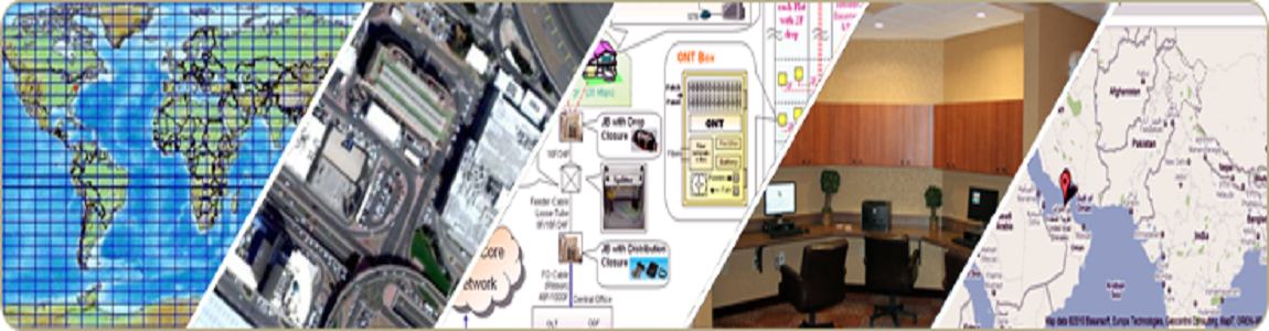
MMI Infotech is a leading supplier of ready-to-use RF maps for wireless network planning, RF planning, RF network planning and optimization. PODIUM's high-quality geographic data for wireless RF networks and wired telecom networks makes RF planning and engineering faster and more accurate. It is providing geographic data for PCS broadband cellular network design, including solutions such as Digital Elevation Models, Clutter Maps and other user-defined geographic layers. Lepton provides specialized and high quality geographic databases to cater to existing and emerging technologies .
MMI Infotech has developed a range of RF maps products with different cities and countries that help organizations in every wireless application, namely, bid preparation, wireless design and modeling, site acquisition, test drive and field validation, micro-cell design, transmission planning, network operations and optimization.
MMI Infotech has developed a range of rf maps products at various resolution 1m, 2m, 5m, 10m 15m 20m or any resolution for different cities and countries that help our clients in every wireless application, namely, bid preparation, wireless design and modeling, site acquisition, test drive and field validation, micro-cell design, transmission planning, network operations and optimization.
AGRICULTURAL PLANNING
Agricultural development is first and foremost a question of human and organizational development, implying changes in behavior relating to technical and business aspects. Podium has traditionally played a leading role in planning of the agricultural sector in developing nations. Decades of experience in the field have contributed to an intimate understanding of state-sponsored and private large, medium and smallholder farming in a wide range of climatic conditions. Podium's agricultural projects, stressing innovational irrigation techniques, adequate drainage, efficient use of water and farmer participation, have chalked up an impressive list of successes in temperate, subtropical and tropical countries throughout the world.
• Climate change affect on Agricultural system
• Spatial distribution study on magnitude of land carbon fluxes
• Change in agricultural area and structure
• Crop Acreage Estimation
• Number of Pixels (N)
• Resolution of mapping (R)
• Total Acreage (TA) = N*(one pixel area i.e. R*R)
• Administrative boundary-wise Crop Acreage Estimation
• Crop Yield Estimation
• Crop health monitoring
• Crop Insurance modeling &product development
• Agricultural Draught monitoring
• Crop damage estimations due to floods/cyclone
• Study on crop change pattern by farmers
• Change study on agricultural and non-agricultural lands and their potential based valuation
Services

Copyright © 2015 - All Rights Reserved - MMI Infotech